 This image can be found at: www.esteio.com.br/english/executed/se_leme.htm
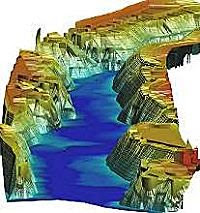
This is a 3D Hypsometric Map, which shows the different levels of relief. This type of maps helps to define the environmental potential that can be developed along the waterway.
No comments:
Post a Comment