This image can be found at: www.lib.utexas.edu/.../states_sites.html
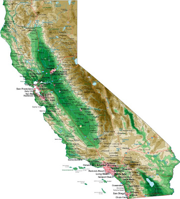
(California - Shaded Relief (Purdue University))
A topographic map characterizes areas in large-scale detail with quantitative representation of relief, a vertical dimension of land surface such as a mountain range or elevation. In the above map of California, you can see the elevation difference in the green and brown shaded areas. The brown area indicates a high elevation of mountains. The area with the darker shade of green probably indicates some form of elevation that rises higher than the areas shaded in a lighter green.
No comments:
Post a Comment